Start with the question
We establish what you are trying to understand or achieve, what you already know and what decision the work needs to support. I then identify what should be checked before more time or money is committed.
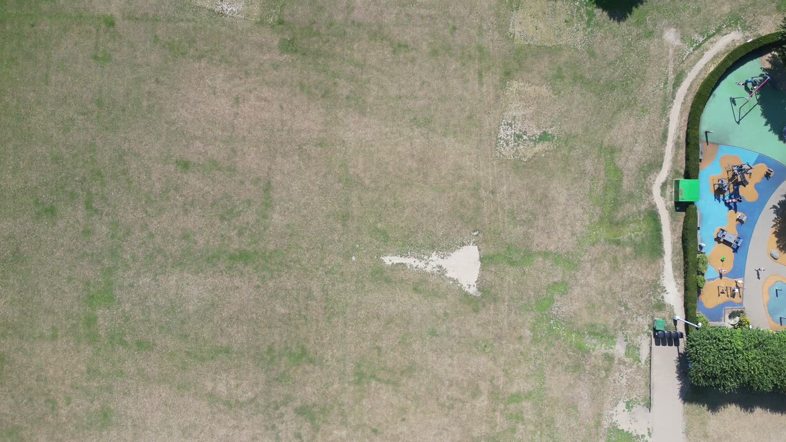
I help landowners, developers, agents and property teams assess early-stage sites using planning research, commercial logic, site evidence and 3D visual context.
Services
Understanding a site and its underlying contexts is key to its successful development. I research a site's history, access and local context, bridging this with current planning policy into a digestible report.
I help you establish whether a site is worth pursuing, what the risks are and what evidence you need for future steps.
To find out more or get started, follow the steps and contact me here.
Process
The same four steps whether you are a homeowner with a side plot or a developer screening a lead.
We establish what you are trying to understand or achieve, what you already know and what decision the work needs to support. I then identify what should be checked before more time or money is committed.
I gather and organise relevant planning, spatial, site and market information for your project.
I assess the evidence, identifying the important patterns, opportunities, constraints and uncertainties, presented through maps, analysis and written findings.
I set out what the findings suggest should happen next. That could mean progressing the opportunity, carrying out further work, changing the approach or deciding that it is not worth pursuing.
Planning is the core of the practice, but I do not treat every planning problem as a desk exercise. I use GIS, site capture, 3D visualisation and software when they help answer the question properly.
Lehodey Land and Planning is a small practice led by Matt Lehodey. I work directly on planning and development projects, including site appraisal, planning research and planning support for work such as external air-conditioning equipment.
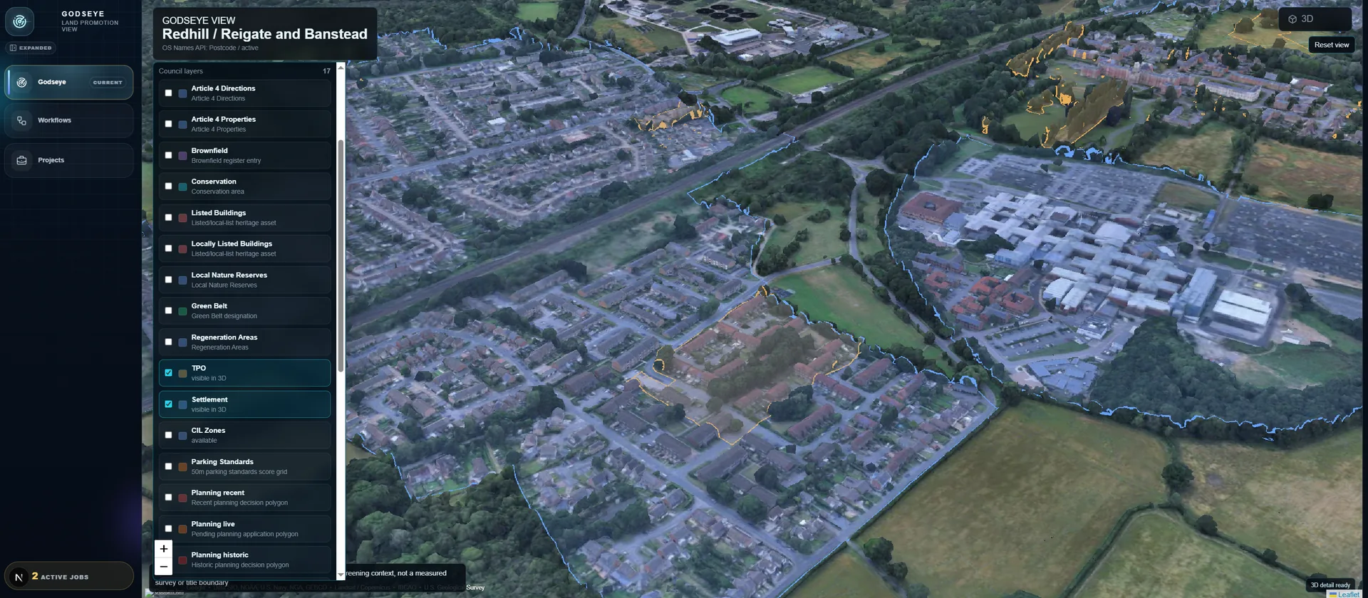
The practice is deliberately broader than a conventional planning service. I also carry out GIS and spatial analysis, drone and 3D site capture, and build planning tools such as GODSEYE and the Healthy Streets Assistant.
These areas overlap more than they first appear. Planning work often means finding evidence across different sources, understanding it spatially and repeating the same checks by hand. Sometimes the answer is a planning report. Sometimes it is a map, a site capture or a piece of software built around the job.
I start with the question and choose the work that will answer it. I might research policy and planning history, analyse an area in GIS, capture a site from the air or build a small workflow around the evidence.
I keep the limits of my own work clear. If a project needs an architect, ecologist, acoustic consultant or another specialist, I say so. If the evidence is uncertain, I say what would resolve it. The aim is to reach a decision that the evidence actually supports.
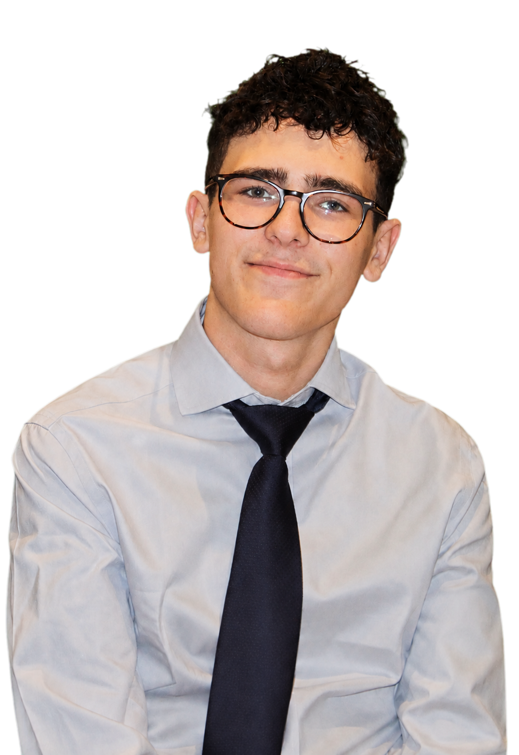
Urban planning and built-environment research, with a working interest in GIS, drone capture and planning technology.
Go to portfolioSend me the site, project or question you are working on and what you want to find out. If you already have plans, planning history, title documents, photographs or other useful material, include those too.
WhatsApp is quickest for an initial conversation. Email works better for documents.